

Faro Focus - 3D Scanning
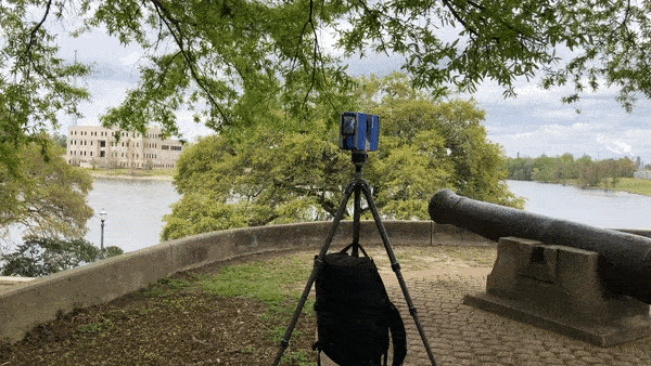
Test run with a high resolution Faro LiDAR scanner at a local park. One section of the park is made up of old artillery positions overlooking a lake. A point cloud was generated from seven positions: four on top of the hill, and three along the access road below.
The position and color data was then imported into UE4 and can be used to generate surface and collision data that allows “players” to walk around the scanned area,